| Read time: 3 mins
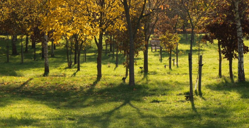
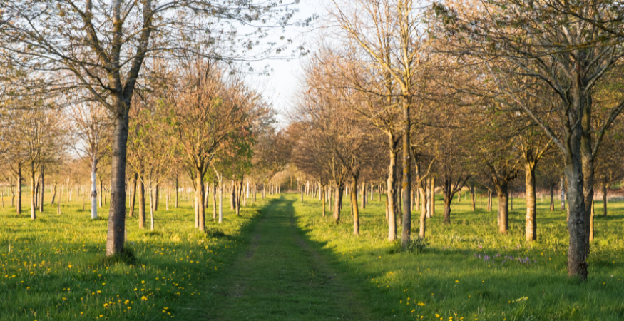
One of the first and oldest green burial companies in the UK, family-run Tithe Green has been operating for over 30 years. Their two eco-friendly natural burial sites, located in Oxton, Nottinghamshire and Ketton, Rutland cover 70 acres, incorporating both wildflower meadows and a woodland burial site.
Accommodating burials and ashes interments, Tithe Green have created a beautiful, natural space to be enjoyed, allowing visitors to reflect and connect with nature. They also continue to make a positive impact on their local environment, supporting biodiversity by planting memorial trees, and encouraging wildflowers and wildlife to flourish.
Providing non-traditional burials in keeping with naturally occurring topography can provide its own unique challenges.
Key, therefore, for the Tithe Green team was to find a deathcare management solution that would provide the clearest view of their inventory, as owner James O’Donnell explains,
“As third generation owners, we’ve maintained three decades’ worth of records - largely using paper maps, excel spreadsheets and access databases. For us, it was important to have 100% certainty that what was on the ground matched the information we held in the office.
Not only that, but we also wanted to be able to access that information quickly and easily when speaking with families; to be able to show them exactly where their loved ones’ are interred, and as a useful visual aid when having conversations around pre-need burials.”

As with many green or natural burial sites, Tithe Green’s plot layout is less uniform than more traditional cemetery grounds - adding a complexity to the placement and positioning of interments and inurnments. It was therefore necessary to employ a mapping methodology that could overcome these challenges, as James continues,
“It was very much a collaborative process with the PlotBox mapping team. In order to accurately define our plots, we have placed a series of markers from which we are able to lay out a grid formation.
These markers were easily picked out by PlotBox’s aerial drone photography which was then overlaid onto existing maps to create a high resolution digital map of the entire Oxton burial site.”

The accuracy of that information was important, as Burial Ground Manager, Tracey Gelder explains,
“The mapping piece essentially provided us with a complete audit of our inventory, and through a process of data verification, we were able to match, test and validate all of our information migrated into PlotBox.
We now have one system with a single point of entry in which all of our data is linked to specific plot locations.
In practice, we can now look up a location on the map and pull up all of the related information we need - we can see who owns what, what’s empty and what’s full - all at the click of a button.
And because it’s updated in real time, we know exactly what we have at all times, with no risk of double-selling plots.
PlotBox CEO, Sean McAllister said,
“With a growing consciousness of our impact on the environment and changing attitudes towards memorialisation, we’re now seeing an increased interest in alternative methods of burial.
It’s important therefore, that deathcare providers, such as Tithe Green, have a solution with the versatility to meet these evolving needs and expectations. We are delighted that PlotBox can help them to achieve that.”
Click here to learn more about PlotBox's verified mapping process.
